[HOW-TO] Accessing Lightning Strike Locations in COTAK
-
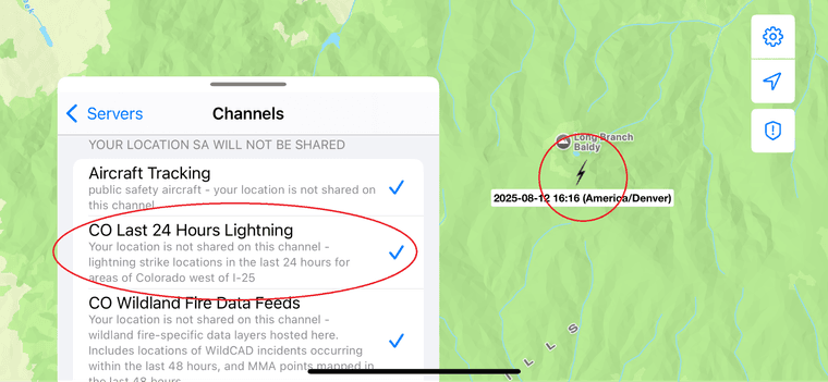
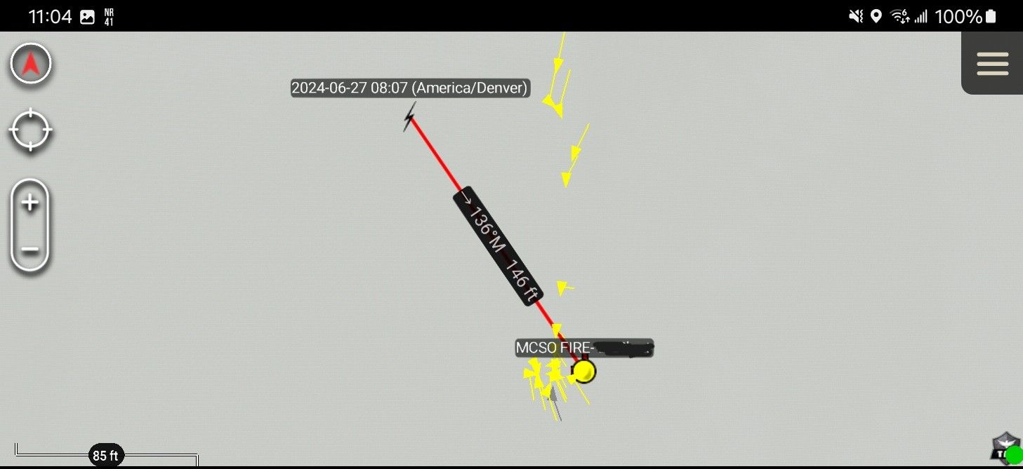
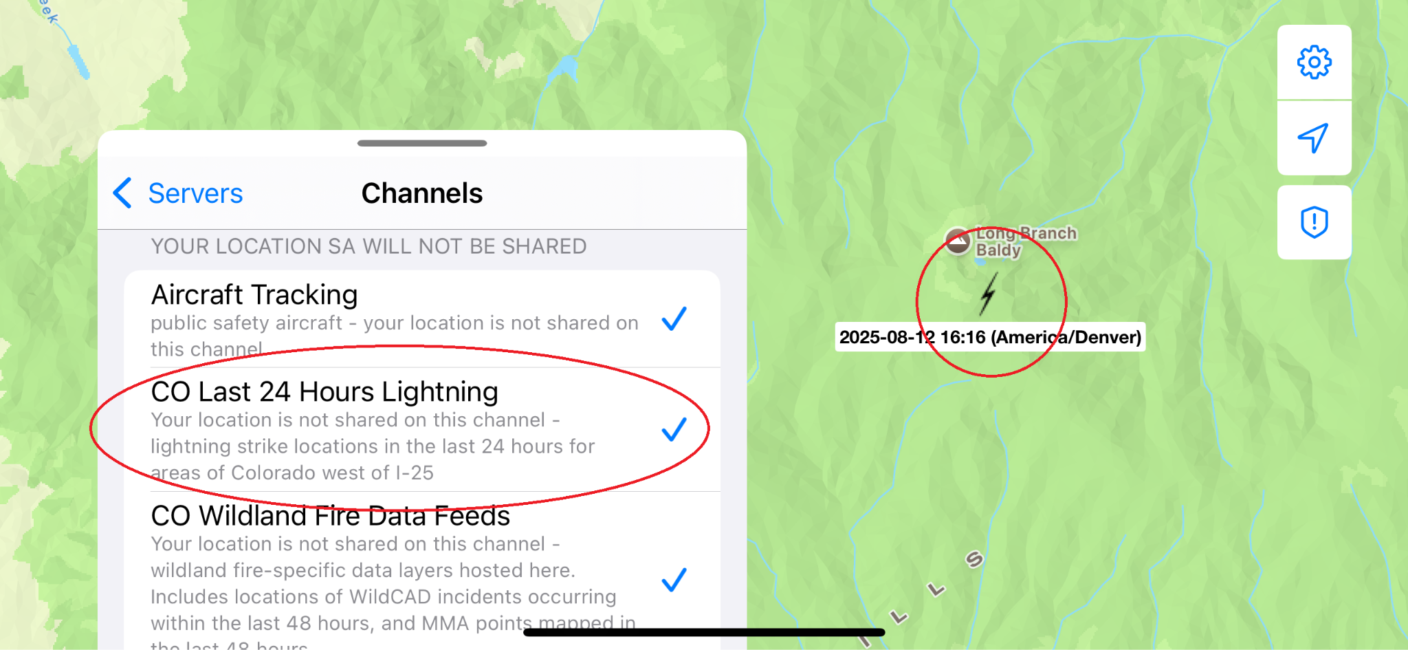
you can access a special channel in the TAK apps showing the locations of lightning strikes occurring in the last 24 hours. This channel is called "CO Last 24 Hours Lightning" and shows the locations of strikes occurring in areas of Colorado west of Interstate 25. In iTAK, this channel is found at the bottom of your channels list along with other ‘read-only’ channels that do not share your location when turned on. The strikes themselves appear as black lightning bolts and may be best viewed against brighter colored basemaps such as a street map.

This data is provided by the National Interagency Fire Center and is updated every 10 minutes. You may need to leave your TAK app running for a few minutes to see the locations of the strikes load, and once the locations appear they will stay on your app for up to 10 hours as long as you leave TAK running, even if you take your phone into an offline area. The location accuracy of the data varies, and is generally accurate to within 100 meters though exceptions may occur. Once loaded this data may be useful for planning of patrol operations or to cross reference with existing smoke reports.


