Basemaps and Overlays in CloudTAK
-
One of the benefits of using COTAK is having the ability to customize your map based on your needs. This can be done on all platforms (iTAK/ATAK/WinTAK/CloudTAK) but can be particularly beneficial for mission planning on a larger screen. Here is some information about map options for CloudTAK:
To choose your basemap: Open main menu and click "Basemaps." From there you can chose from many options based on your need for topo lines / satellite images / trail maps etc.
In addition, custom maps such as park maps, trail files, or boundary lines can be added as an "Overlay" which will appear on top of your base map. Users can easily import KMLs through going to Imports -> New Import
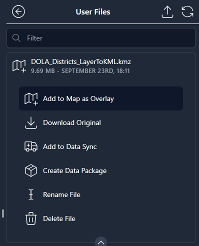
 -> Upload. After the KML has been uploaded, go to Upload Files (main menu) and click "Add to Map as Overlay." The file will then be displayed on top of your basemap.
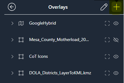
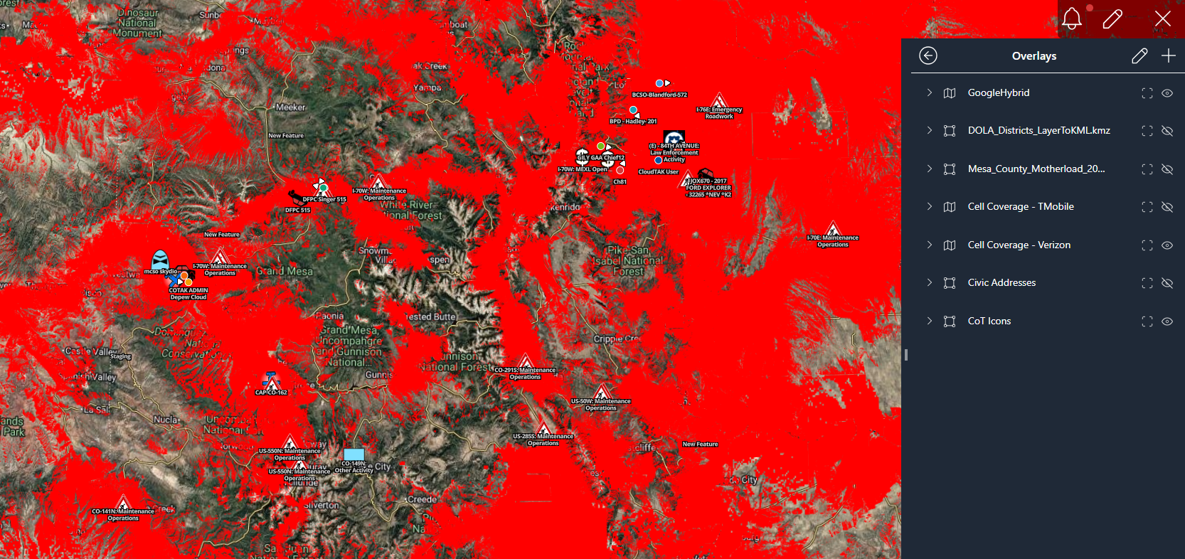
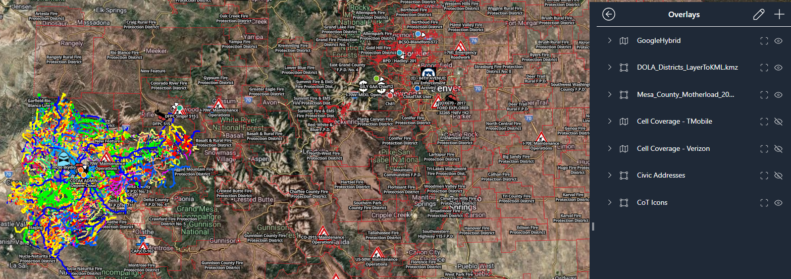
To turn your overlays on or off: go to Overlays, and click on the eye. A slash through the eye indicates that the layer is not displayed, and no slash indicates that the layer is displayed. See below example of the fire protection district boundaries.
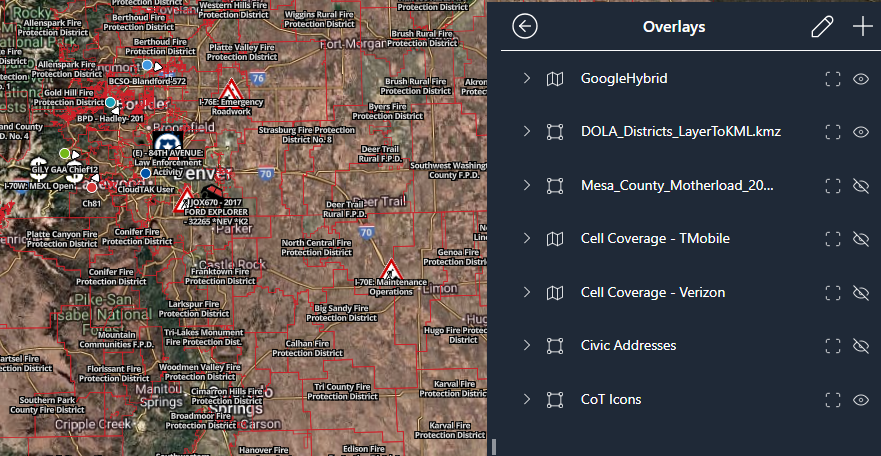
You can even stack overlays, see below example of a Mesa County trail file and fire protection districts.
There are several useful overlays that are already available on CloudTAK such as contour lines, cell coverage areas, and land parcels. To add these simply go to Overlays, click the + icon, and click on the overlay in order to add it to your list of available overlays.